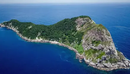
The Cordillera Huayhuash in Peru

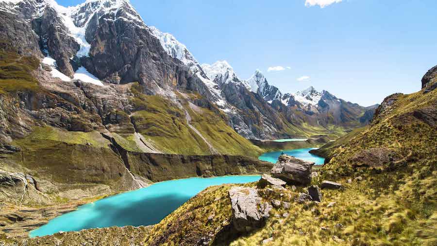
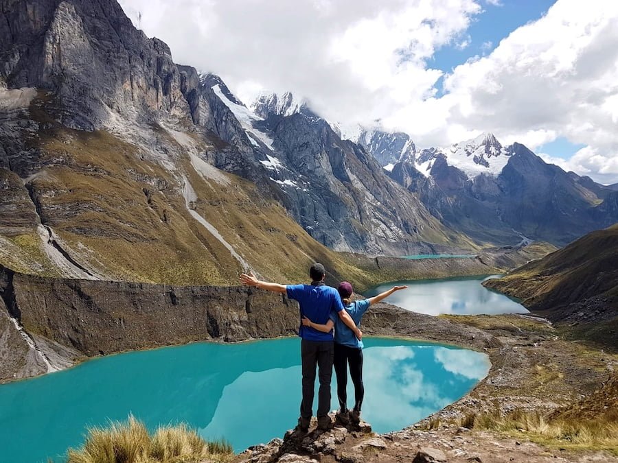
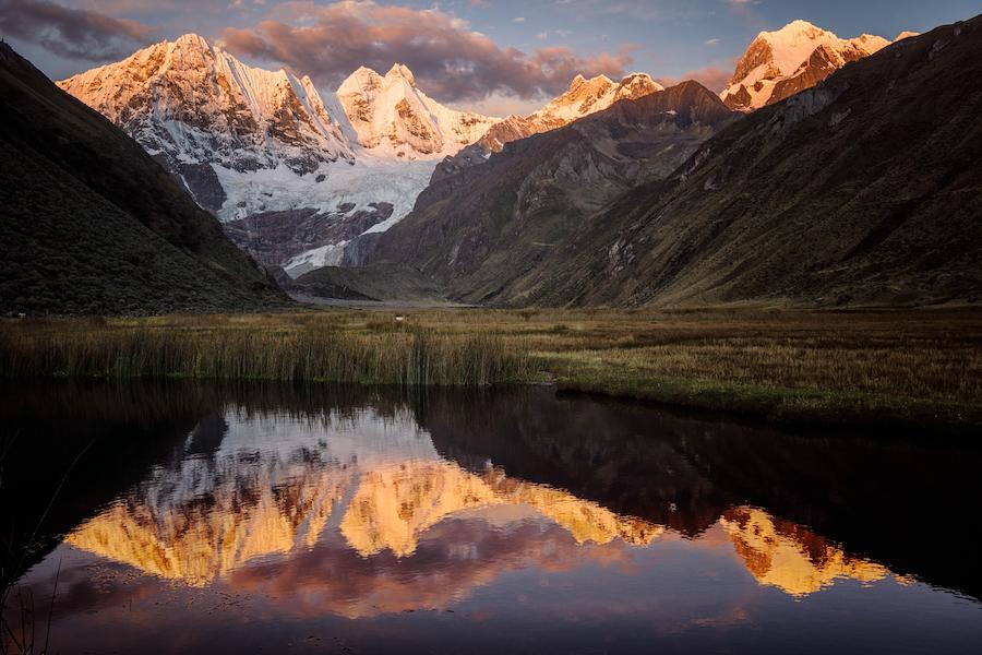
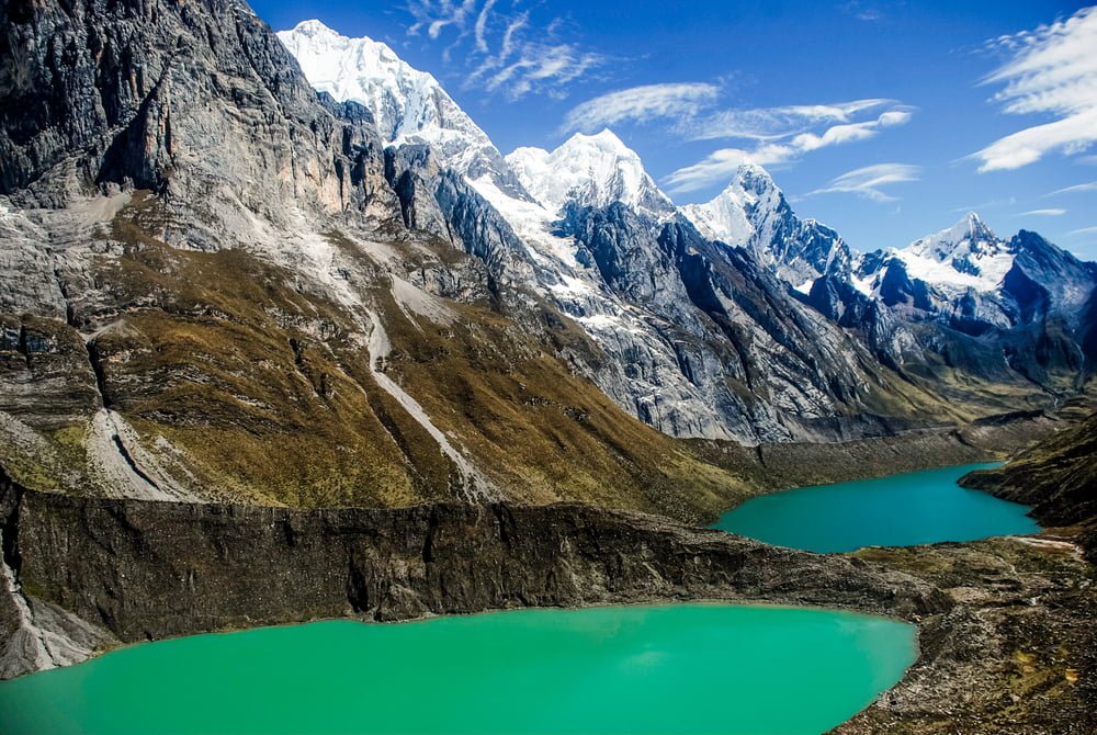
The Cordillera Huayhuash journey, maybe the best alpine hike in the world, has become well-known among outdoor enthusiasts for its steep mountain peaks, pure glacier lakes, and contacts with traditional Andean culture.
The Peruvian government has invested in infrastructure and security measures in recent years, making the area much safer. Huayhuash has grown in popularity among tourists in recent years, but it is still not as well-known as treks in other parts of Peru, so the natural environment is mostly untouched. That is why it is ideal for those seeking to experience the Andes at their most peaceful and magnificent.
However, in previous years, this route was regarded as fairly dangerous, with hikers dying on occasion. Not only was the region a stronghold for the Maoist-inspired Shining Path guerrillas, but the routes themselves were frequently seen as hazardous and dangerous.
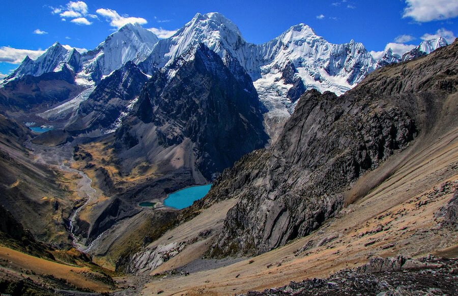
About the Expedition
Trekking the Cordillera Huayhuash is not for the faint of heart, with a length of around 130km (81mi) and elevations as high as 5,490m (18,012ft). The weather is frequently severe, and hypothermia is a concern. Furthermore, those who are not adapted to high altitudes may acquire altitude sickness, a condition that causes symptoms such as headache, nausea, loss of appetite, and difficulty sleeping.
To be clear, this walk is challenging and occasionally dangerous, therefore only experienced hikers should try the entire route. Anyone who is unwilling to commit to the whole route of the classic circuit has the option of taking numerous different shortcuts, which can minimize the hike’s length by several days.
Huayhuash will have plenty of rewards in store for those who decide to take on the task. The entire path is above the treeline, providing tourists with a 360-degree view of the stunning alpine scenery at all times. There are a variety of possible side treks, including climbs of Pumarinri and Diablo Mudo, in addition to the main 130km circuit.
Natural hot springs are also available to visitors about halfway along the walk. The condor and more than 60 other bird species, as well as the vicua (a wild related of the alpaca) and vizcacha (a sort of chinchilla like a rabbit), can be seen on the walk. All of this contributes to a setting that can only be described as sublime.
Taking a Tour vs. Traveling Alone
The most secure and convenient method to finish this walk is to hire a guided tour from one of the many local companies in the area. Though it is feasible to complete the hike on your own, it is not suggested unless you have extensive experience hiking in high altitude, adequate equipment, plenty of food, and a firm command of Spanish and/or Quechua. It is possible to run into difficulties on this route (either with locals or with natural hazards on the way), and you must be able to fend for yourself in isolation if something goes wrong.
If you do decide to complete this journey without selecting a guided tour, you must hire pack animals such as mules or donkeys to carry the vast amount of food and supplies required for such a long trek. While in Huaraz, you can hire pack animals.
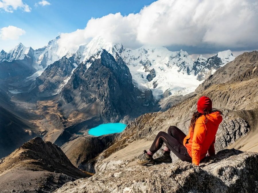
When Should You Go on the Huayhuash Trek?
The best months to trek the Cordillera Huayhuash are from May to September, when the weather is dry but cold (during the wet season, snow might block the mountain passes). Prior to leaving, be careful to stay up to speed on weather forecasts and be aware of how alterations in the weather may effect your ability to complete the walk.
How to Travel to the Huayhuash Cordillera
The most common departure location is Huaraz, a 127,041-person city in north-central Peru that is roughly eight hours from Lima by bus or vehicle. Daily direct bus service between Lima and Huaraz is provided by a number of bus companies, including Oltursa, Movil Tours, and many others. Additionally, LC Peru operates flights.
Private transportation may take you all the way to the first campsite, Cuartelwain, from Huaraz. If you don’t mind walking several miles on a dirt road from Llamac to Cuartelwain, you can alternatively take a public bus from Huaraz to the village of Llamac.
The traditional path
Day 1: Huaraz – Llámac – Cuartelwain 4170m
Day 2: Cuartelwain – Qaqanan pass 4750m – Mitucocha 4230m
Day 3: Mitucocha – Carhuac pass 4600m – Carhuacocha 4138m
Day 4: Carhuacocha – Carnicero pass 4630m – Huayhuash 4330m
Day 5: Huayhuash – Portachuelo pass 4750m – Viconga 4400m
Day 6: Viconga – Cuyoc pass 5000m – Guanacpatay (Elefante pampa) 4450m.
Day 7: Guanacpatay – San Antonio Pass 4990m – Cutatambo 4250m
Day 8: Cutatambo, visit the base camp and glacier of Siula Grande mount, route of Joe Simpson.
Day 9: Cutatambo – Huayllapa 3500m
Day 10: Huayllapa – Tapush pass 4800m – Qashpapampa 4500m.
Day 11: Qashpapampa – Yaucha pass 4750m – Jahuacocha 4070m
Day 12: Jahuacocha – Pampa Llámac pass 4300m – Llamac – Huaraz
What should you bring?
- Walking shoes and socks
- Regular pants
- T-shirts (long-sleeved and short-sleeved)
- Trekking boots
- Warm sleeping bag
- Waterproof pants and jacket
- Sunglasses and sunscreen
- Baseball cap or bandana
- Fleece for extra warmth
- Warm hat and mittens
If you’re going on a guided tour, the equipment listed above should be sufficient (but double-check with your specific provider). If you plan your own walk, you will also need tents, cooking equipment, and enough food and water to last the entire journey. In this scenario, it is essential that you speak with a professional or someone who has already done the trek to assist you in developing a suitable supply list.

